Chelsea Heights na mapie
Chelsea Heights (Victoria) , Australia na mapie.
współrzędne GPS: 38° 1' 60" południe,
145° 7' 60" Wschód.
» Strefa czasowa, » Mapa polityczna, » Mapa naturalna,
» Chelsea Heights na mapie nocnej & » Mapa Google.
 Czas
CzasChelsea Heights na mapie strefy czasowej:
Strefa czasowa: GMT+10:00 = AEST


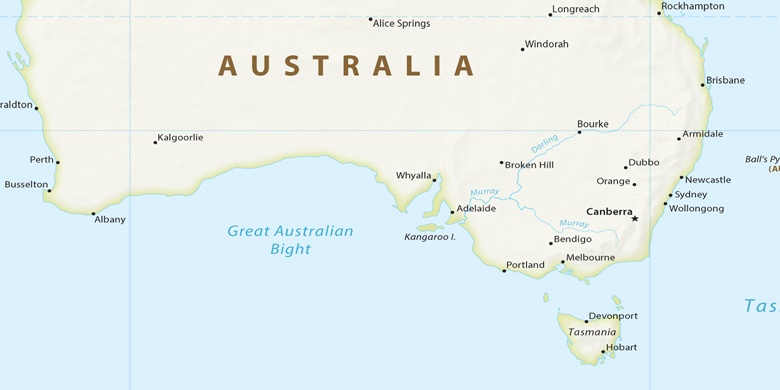
Australia, Chelsea Heights Mapa polityczna

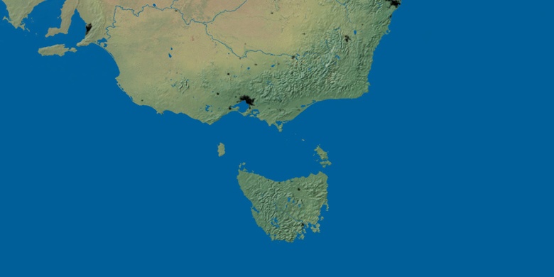
Mapa naturalna
Długości i szerokości geograficznej: -38.03333, 145.13333

Chelsea Heights
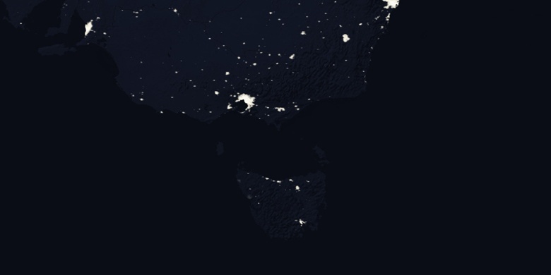
Chelsea Heights na mapie nocnej