 Kenthurst na mapie
Kenthurst (New South Wales) , Australia na mapie.
współrzędne GPS: 33° 39' 19" południe,
151° 0' 18.1" Wschód.
» Strefa czasowa, » Mapa polityczna, » Mapa naturalna,
» Kenthurst na mapie nocnej & » Mapa Google.
 Czas
CzasKenthurst na mapie strefy czasowej:
Strefa czasowa: GMT+10:00 = AEST


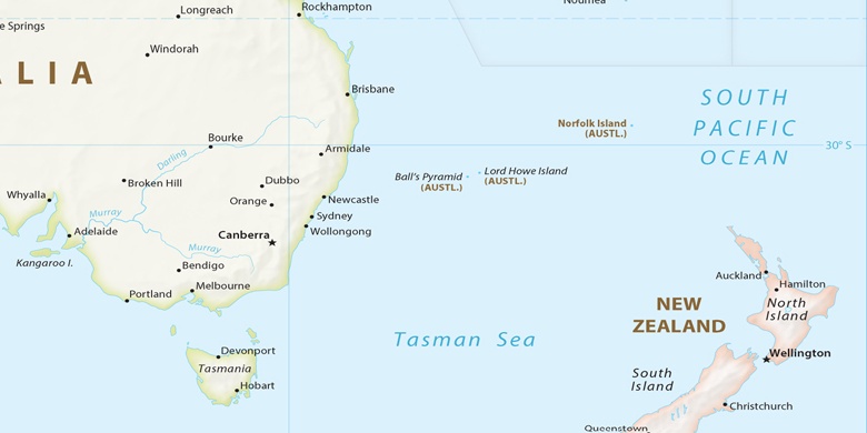
Australia, Kenthurst Mapa polityczna

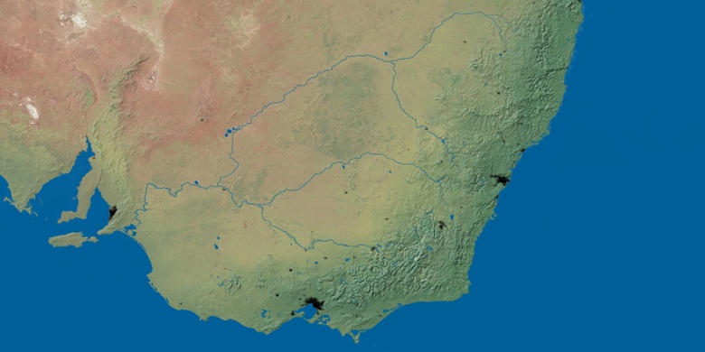
Mapa naturalna
Długości i szerokości geograficznej: -33.65527, 151.00503

Kenthurst
Kenthurst na mapie nocnej

