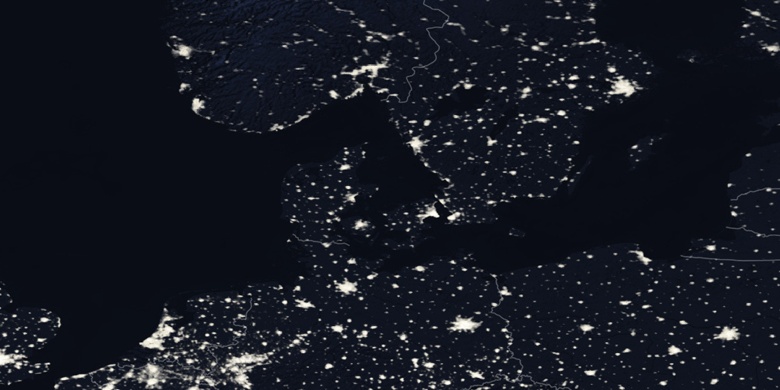
Gmina Albertslund na mapie
Gmina Albertslund (Albertslund, Capital Region) , Dania na mapie.
współrzędne GPS: 55° 39' 24.9" Północ,
12° 21' 49.7" Wschód.
» Strefa czasowa, » Mapa polityczna, » Mapa naturalna,
» Gmina Albertslund na mapie nocnej & » Mapa Google.
 Czas
CzasGmina Albertslund na mapie strefy czasowej:
Strefa czasowa: GMT+02:00 = CEST (±1 DST)


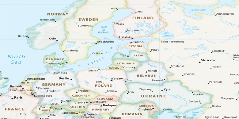
Dania, Gmina Albertslund Mapa polityczna

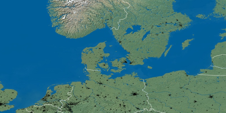
Mapa naturalna
Długości i szerokości geograficznej: 55.65691, 12.36381

Gmina Albertslund
Gmina Albertslund na mapie nocnej