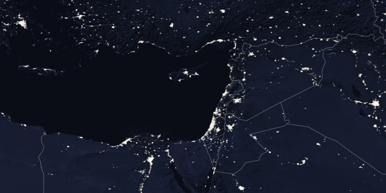
Al Maḩallah al Kubrá na mapie
Al Maḩallah al Kubrá (Muḩāfaz̧at al Gharbīyah
) , Egipt na mapie.
współrzędne GPS: 30° 58' 14.3" Północ,
31° 10' 0.8" Wschód.
» Strefa czasowa, » Mapa polityczna, » Mapa naturalna,
» Al Maḩallah al Kubrá na mapie nocnej & » Mapa Google.
 Czas
CzasAl Maḩallah al Kubrá na mapie strefy czasowej:
Strefa czasowa: GMT+03:00 = EEST (±1 DST)


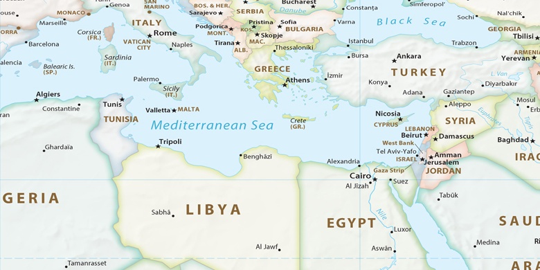
Egipt, Al Maḩallah al Kubrá Mapa polityczna

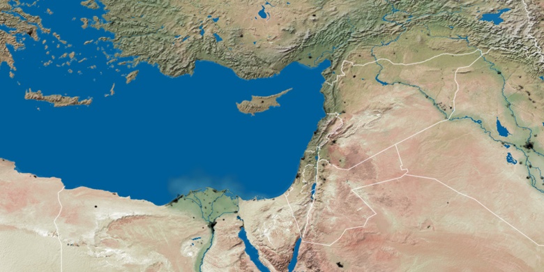
Mapa naturalna
Długości i szerokości geograficznej: 30.97063, 31.1669

Al Maḩallah al Kubrá
Al Maḩallah al Kubrá na mapie nocnej