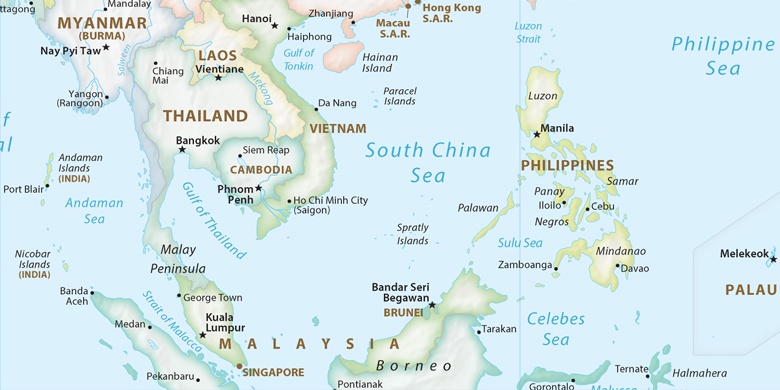
San Vicente na mapie
San Vicente (Central Luzon) , Filipiny na mapie.
współrzędne GPS: 15° 12' 47.7" Północ,
120° 49' 8.4" Wschód.
» Strefa czasowa, » Mapa polityczna, » Mapa naturalna,
» San Vicente na mapie nocnej & » Mapa Google.
 Czas
CzasSan Vicente na mapie strefy czasowej:
Strefa czasowa: GMT+08:00 = PST


Filipiny, San Vicente Mapa polityczna

Mapa naturalna
Długości i szerokości geograficznej: 15.21324, 120.81901
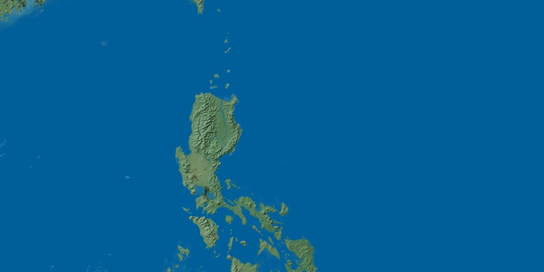

San Vicente
San Vicente na mapie nocnej