Santa Ines West na mapie
Santa Ines West (Central Luzon) , Filipiny na mapie.
współrzędne GPS: 15° 33' 25" Północ,
120° 27' 52.1" Wschód.
» Strefa czasowa, » Mapa polityczna, » Mapa naturalna,
» Santa Ines West na mapie nocnej & » Mapa Google.
 Czas
CzasSanta Ines West na mapie strefy czasowej:
Strefa czasowa: GMT+08:00 = PST


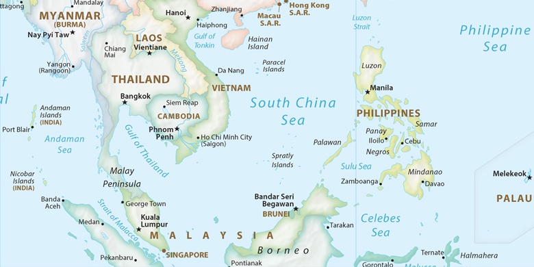
Filipiny, Santa Ines West Mapa polityczna

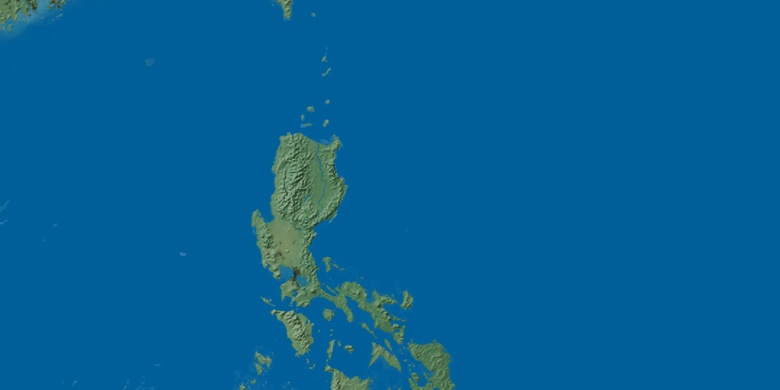
Mapa naturalna
Długości i szerokości geograficznej: 15.55694, 120.46448

Santa Ines West
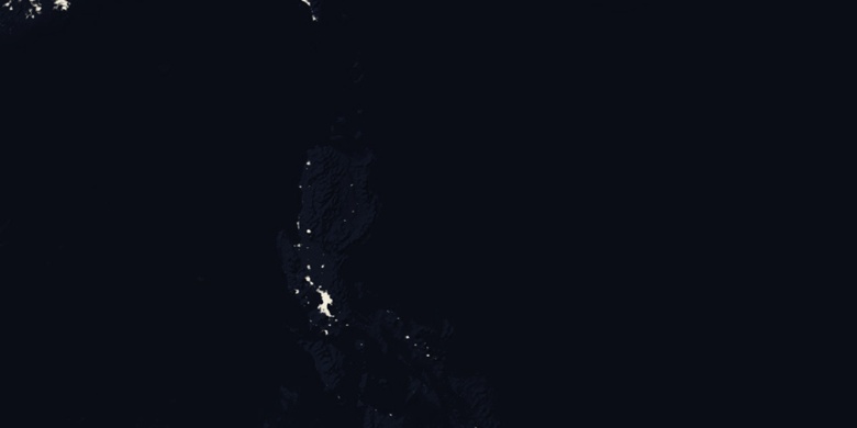
Santa Ines West na mapie nocnej