Bohain-en-Vermandois na mapie
Bohain-en-Vermandois (Picardie) , Francja na mapie.
współrzędne GPS: 49° 59' 14.3" Północ,
3° 27' 10.8" Wschód.
» Strefa czasowa, » Mapa polityczna, » Mapa naturalna,
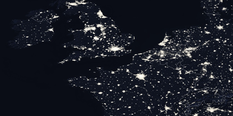
» Bohain-en-Vermandois na mapie nocnej & » Mapa Google.
 Czas
CzasBohain-en-Vermandois na mapie strefy czasowej:
Strefa czasowa: GMT+02:00 = CEST (±1 DST)


Francja, Bohain-en-Vermandois Mapa polityczna


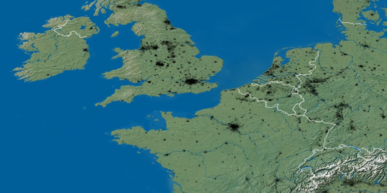
Mapa naturalna
Długości i szerokości geograficznej: 49.9873, 3.453

Bohain-en-Vermandois
Bohain-en-Vermandois na mapie nocnej