Mandelieu-la-Napoule na mapie
Mandelieu-la-Napoule (Provence-Alpes-Côte d'Azur) , Francja na mapie.
współrzędne GPS: 43° 32' 60" Północ,
6° 55' 60" Wschód.
» Strefa czasowa, » Mapa polityczna, » Mapa naturalna,
» Mandelieu-la-Napoule na mapie nocnej & » Mapa Google.
 Czas
CzasMandelieu-la-Napoule na mapie strefy czasowej:
Strefa czasowa: GMT+02:00 = CEST (±1 DST)


Francja, Mandelieu-la-Napoule Mapa polityczna


Mapa naturalna
Długości i szerokości geograficznej: 43.55, 6.93333


Mandelieu-la-Napoule
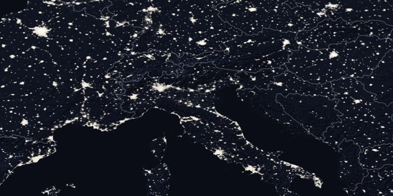
Mandelieu-la-Napoule na mapie nocnej