Saint-Priest na mapie
Saint-Priest (Rhône-Alpes) , Francja na mapie.
współrzędne GPS: 45° 41' 46.1" Północ,
4° 56' 20.1" Wschód.
» Strefa czasowa, » Mapa polityczna, » Mapa naturalna,
» Saint-Priest na mapie nocnej & » Mapa Google.
 Czas
CzasSaint-Priest na mapie strefy czasowej:
Strefa czasowa: GMT+02:00 = CEST (±1 DST)


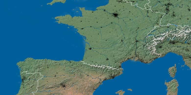
Francja, Saint-Priest Mapa polityczna


Mapa naturalna
Długości i szerokości geograficznej: 45.69613, 4.93891

Saint-Priest
Saint-Priest na mapie nocnej