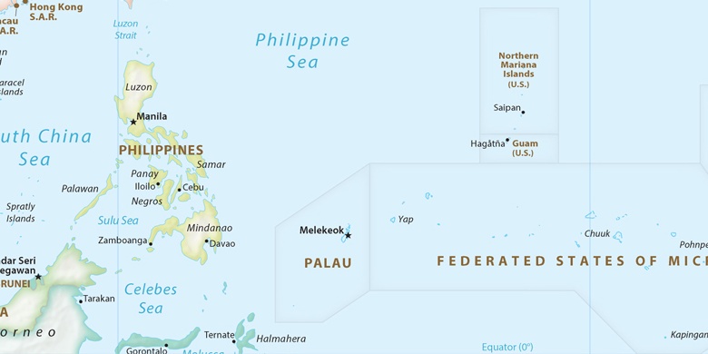
Agana Heights Village na mapie
Agana Heights Village (Agana Heights
) , Guam na mapie.
współrzędne GPS: 13° 27' 56.1" Północ,
144° 44' 52.6" Wschód.
» Strefa czasowa, » Mapa polityczna, » Mapa naturalna,
» Agana Heights Village na mapie nocnej & » Mapa Google.
 Czas
CzasAgana Heights Village na mapie strefy czasowej:
Strefa czasowa: GMT+10:00 = ChST


Guam, Agana Heights Village Mapa polityczna

Mapa naturalna
Długości i szerokości geograficznej: 13.46559, 144.74795


Agana Heights Village
Agana Heights Village na mapie nocnej