Candeleda na mapie
Candeleda (Castille and León) , Hiszpania na mapie.
współrzędne GPS: 40° 9' 18.8" Północ,
5° 14' 25.6" Zachód.
» Strefa czasowa, » Mapa polityczna, » Mapa naturalna,
» Candeleda na mapie nocnej & » Mapa Google.
 Czas
CzasCandeleda na mapie strefy czasowej:
Strefa czasowa: GMT+02:00 = CEST (±1 DST)


Hiszpania, Candeleda Mapa polityczna


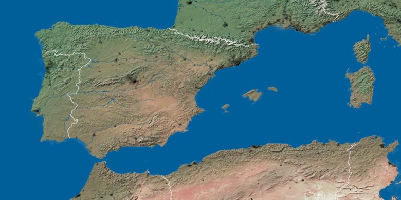
Mapa naturalna
Długości i szerokości geograficznej: 40.15521, -5.24045

Candeleda
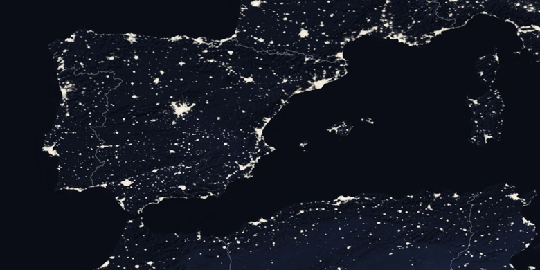
Candeleda na mapie nocnej