Corral de Almaguer na mapie
Corral de Almaguer (Castille-La Mancha) , Hiszpania na mapie.
współrzędne GPS: 39° 45' 35.5" Północ,
3° 9' 52.3" Zachód.
» Strefa czasowa, » Mapa polityczna, » Mapa naturalna,
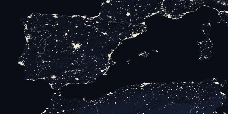
» Corral de Almaguer na mapie nocnej & » Mapa Google.
 Czas
CzasCorral de Almaguer na mapie strefy czasowej:
Strefa czasowa: GMT+02:00 = CEST (±1 DST)


Hiszpania, Corral de Almaguer Mapa polityczna


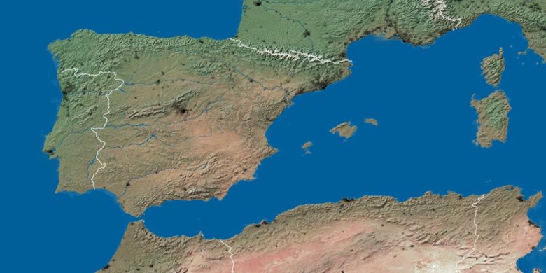
Mapa naturalna
Długości i szerokości geograficznej: 39.75987, -3.16452

Corral de Almaguer
Corral de Almaguer na mapie nocnej