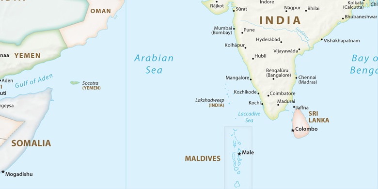
Attingal na mapie
Attingal (Kerala) , Indie na mapie.
współrzędne GPS: 8° 41' 34.2" Północ,
76° 48' 54.6" Wschód.
» Strefa czasowa, » Mapa polityczna, » Mapa naturalna,
» Attingal na mapie nocnej & » Mapa Google.
 Czas
CzasAttingal na mapie strefy czasowej:
Strefa czasowa: GMT+05:30 = IST


Indie, Attingal Mapa polityczna

Mapa naturalna
Długości i szerokości geograficznej: 8.69282, 76.81518


Attingal
Attingal na mapie nocnej