Bhitarwār na mapie
Bhitarwār (Madhya Pradesh) , Indie na mapie.
współrzędne GPS: 25° 47' 32.6" Północ,
78° 6' 38.8" Wschód.
» Strefa czasowa, » Mapa polityczna, » Mapa naturalna,
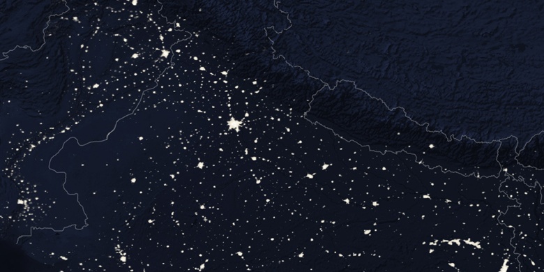
» Bhitarwār na mapie nocnej & » Mapa Google.
 Czas
CzasBhitarwār na mapie strefy czasowej:
Strefa czasowa: GMT+05:30 = IST


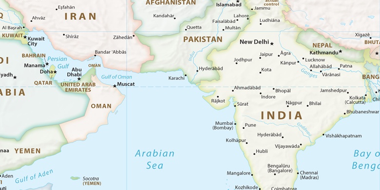
Indie, Bhitarwār Mapa polityczna

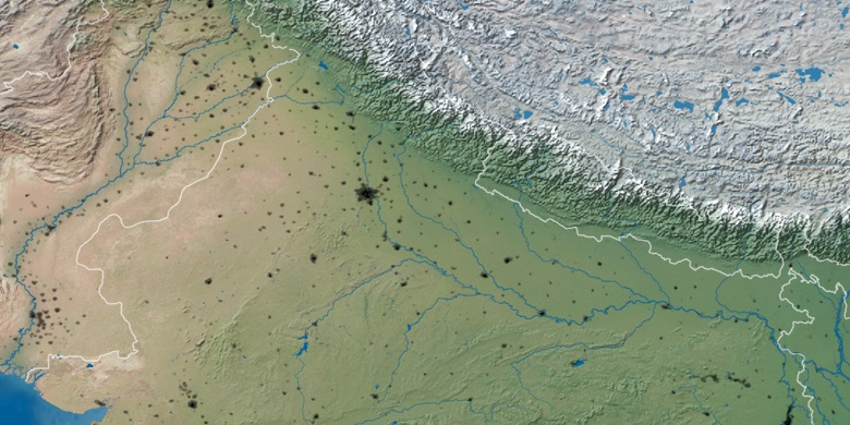
Mapa naturalna
Długości i szerokości geograficznej: 25.79239, 78.11077

Bhitarwār
Bhitarwār na mapie nocnej