Jhālāwār na mapie
Jhālāwār (Rajasthan) , Indie na mapie.
współrzędne GPS: 24° 35' 48.3" Północ,
76° 9' 54.1" Wschód.
» Strefa czasowa, » Mapa polityczna, » Mapa naturalna,
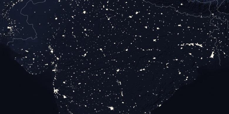
» Jhālāwār na mapie nocnej & » Mapa Google.
 Czas
CzasJhālāwār na mapie strefy czasowej:
Strefa czasowa: GMT+05:30 = IST


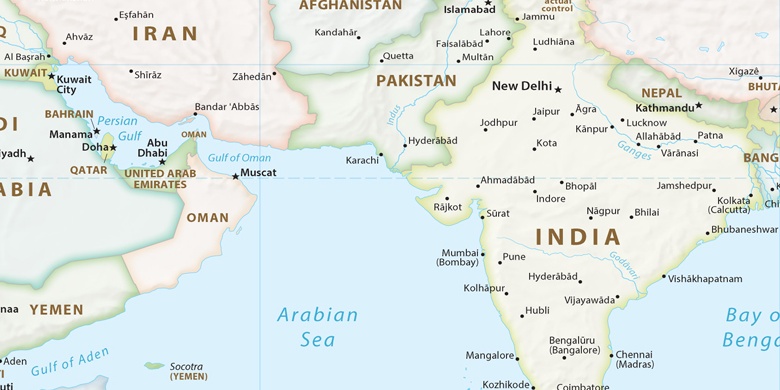
Indie, Jhālāwār Mapa polityczna

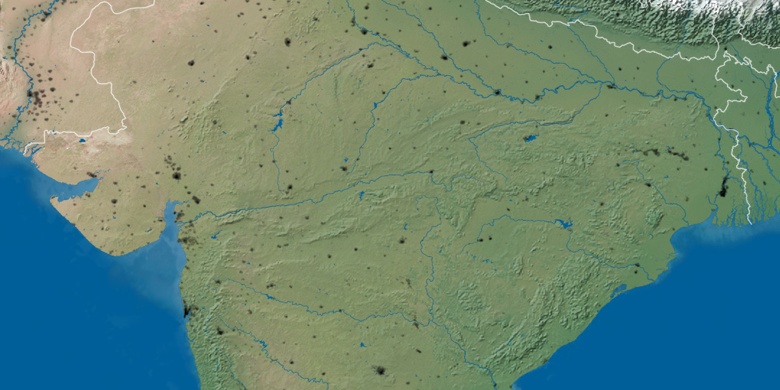
Mapa naturalna
Długości i szerokości geograficznej: 24.59676, 76.16503

Jhālāwār
Jhālāwār na mapie nocnej