Lātehār na mapie
Lātehār (Jharkhand) , Indie na mapie.
współrzędne GPS: 23° 44' 38.2" Północ,
84° 29' 56.4" Wschód.
» Strefa czasowa, » Mapa polityczna, » Mapa naturalna,
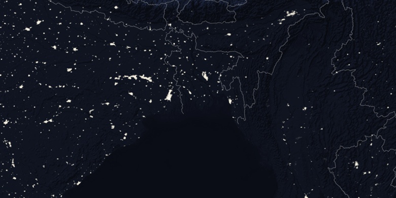
» Lātehār na mapie nocnej & » Mapa Google.
 Czas
CzasLātehār na mapie strefy czasowej:
Strefa czasowa: GMT+05:30 = IST


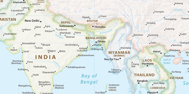
Indie, Lātehār Mapa polityczna

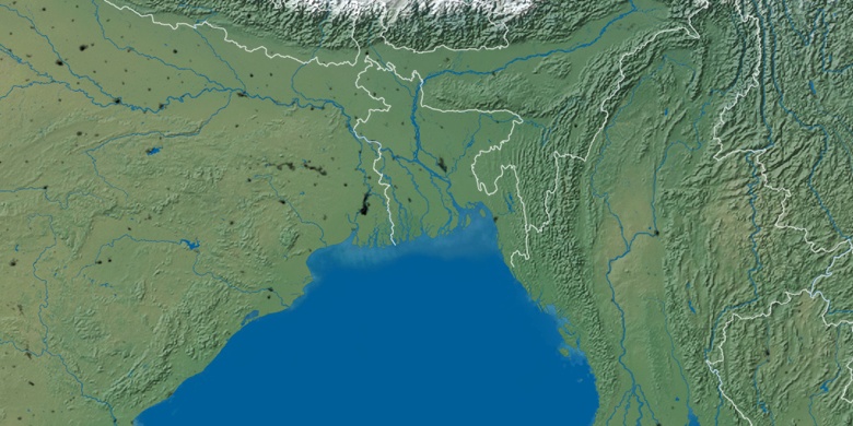
Mapa naturalna
Długości i szerokości geograficznej: 23.74395, 84.499

Lātehār
Lātehār na mapie nocnej