Perambalur na mapie
Perambalur (Tamil Nadu) , Indie na mapie.
współrzędne GPS: 11° 13' 60" Północ,
78° 52' 60" Wschód.
» Strefa czasowa, » Mapa polityczna, » Mapa naturalna,
» Perambalur na mapie nocnej & » Mapa Google.
 Czas
CzasPerambalur na mapie strefy czasowej:
Strefa czasowa: GMT+05:30 = IST


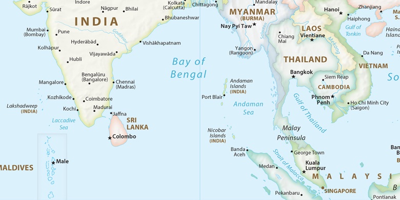
Indie, Perambalur Mapa polityczna

Mapa naturalna
Długości i szerokości geograficznej: 11.23333, 78.88333


Perambalur
Perambalur na mapie nocnej