Sundarnagar na mapie
Sundarnagar (Himachal Pradesh) , Indie na mapie.
współrzędne GPS: 31° 31' 57.9" Północ,
76° 54' 21.4" Wschód.
» Strefa czasowa, » Mapa polityczna, » Mapa naturalna,
» Sundarnagar na mapie nocnej & » Mapa Google.
 Czas
CzasSundarnagar na mapie strefy czasowej:
Strefa czasowa: GMT+05:30 = IST


Indie, Sundarnagar Mapa polityczna


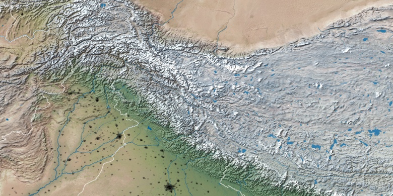
Mapa naturalna
Długości i szerokości geograficznej: 31.53276, 76.90594

Sundarnagar
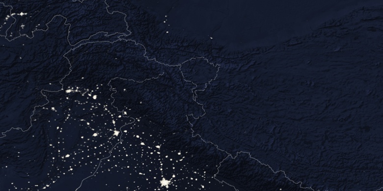
Sundarnagar na mapie nocnej