Perbaungan na mapie
Perbaungan (North Sumatra
) , Indonezja na mapie.
współrzędne GPS: 3° 34' 4.4" Północ,
98° 57' 21.6" Wschód.
» Strefa czasowa, » Mapa polityczna, » Mapa naturalna,
» Perbaungan na mapie nocnej & » Mapa Google.
 Czas
CzasPerbaungan na mapie strefy czasowej:
Strefa czasowa: GMT+07:00 = WIB


Indonezja, Perbaungan Mapa polityczna


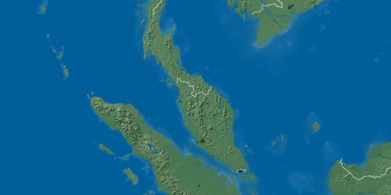
Mapa naturalna
Długości i szerokości geograficznej: 3.5679, 98.956

Perbaungan
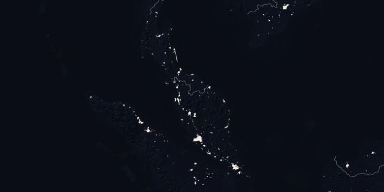
Perbaungan na mapie nocnej