Cabinteely na mapie
Cabinteely (Leinster) , Irlandia na mapie.
współrzędne GPS: 53° 16' 11" Północ,
6° 9' 38.1" Zachód.
» Strefa czasowa, » Mapa polityczna, » Mapa naturalna,
» Cabinteely na mapie nocnej & » Mapa Google.
 Czas
CzasCabinteely na mapie strefy czasowej:
Strefa czasowa: GMT+01:00 = IST (±1 DST)


Irlandia, Cabinteely Mapa polityczna


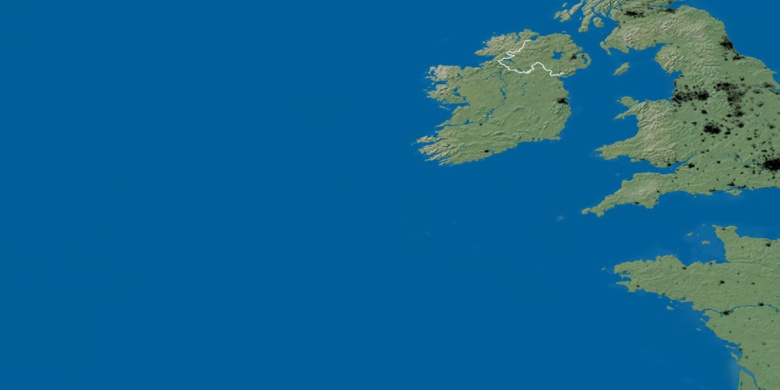
Mapa naturalna
Długości i szerokości geograficznej: 53.26973, -6.16058

Cabinteely
Cabinteely na mapie nocnej