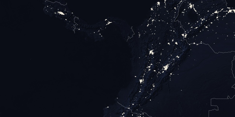
San Vicente de Chucurí na mapie
San Vicente de Chucurí (Santander
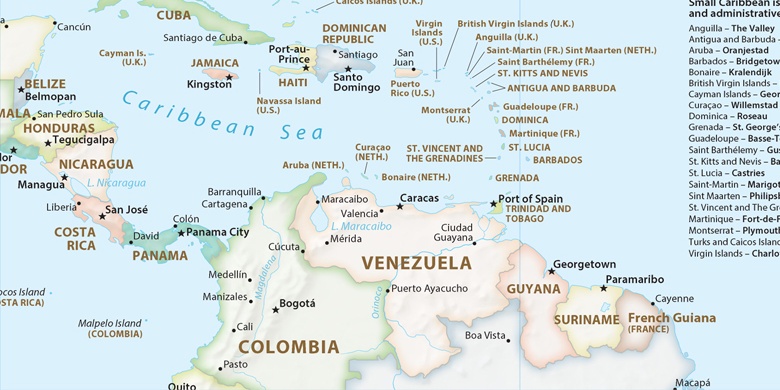
) , Kolumbia na mapie.
współrzędne GPS: 6° 52' 51.6" Północ,
73° 24' 35.2" Zachód.
» Strefa czasowa, » Mapa polityczna, » Mapa naturalna,
» San Vicente de Chucurí na mapie nocnej & » Mapa Google.
 Czas
CzasSan Vicente de Chucurí na mapie strefy czasowej:
Strefa czasowa: GMT-05:00 = -05


Kolumbia, San Vicente de Chucurí Mapa polityczna

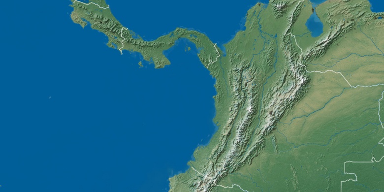
Mapa naturalna
Długości i szerokości geograficznej: 6.881, -73.40977

San Vicente de Chucurí
San Vicente de Chucurí na mapie nocnej