Bel Air Rivière Sèche na mapie
Bel Air Rivière Sèche (Flacq
) , Mauritius na mapie.
współrzędne GPS: 20° 15' 28" południe,
57° 44' 59.1" Wschód.
» Strefa czasowa, » Mapa polityczna, » Mapa naturalna,
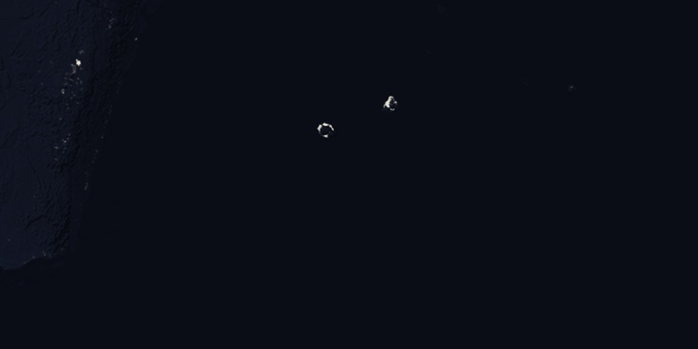
» Bel Air Rivière Sèche na mapie nocnej & » Mapa Google.
 Czas
CzasBel Air Rivière Sèche na mapie strefy czasowej:
Strefa czasowa: GMT+04:00 = +04


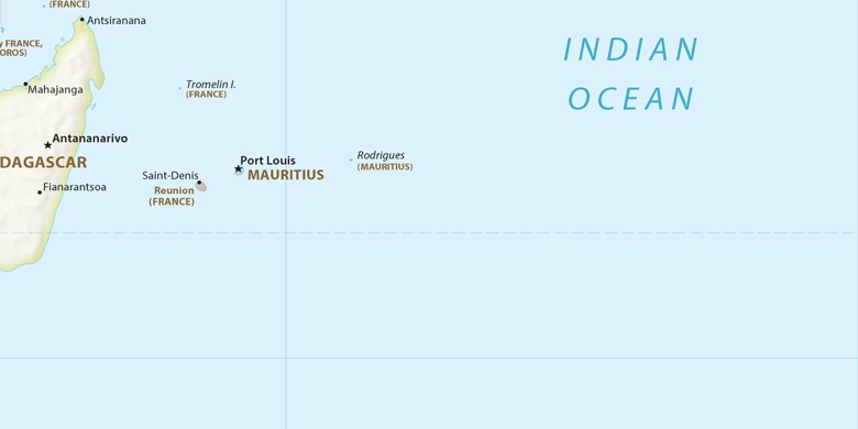
Mauritius, Bel Air Rivière Sèche Mapa polityczna

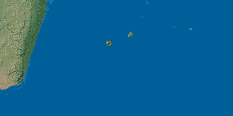
Mapa naturalna
Długości i szerokości geograficznej: -20.25777, 57.74976

Bel Air Rivière Sèche
Bel Air Rivière Sèche na mapie nocnej