Villa Nanchital na mapie
Villa Nanchital (Veracruz) , Meksyk na mapie.
współrzędne GPS: 18° 4' 16.2" Północ,
94° 24' 27.2" Zachód.
» Strefa czasowa, » Mapa polityczna, » Mapa naturalna,
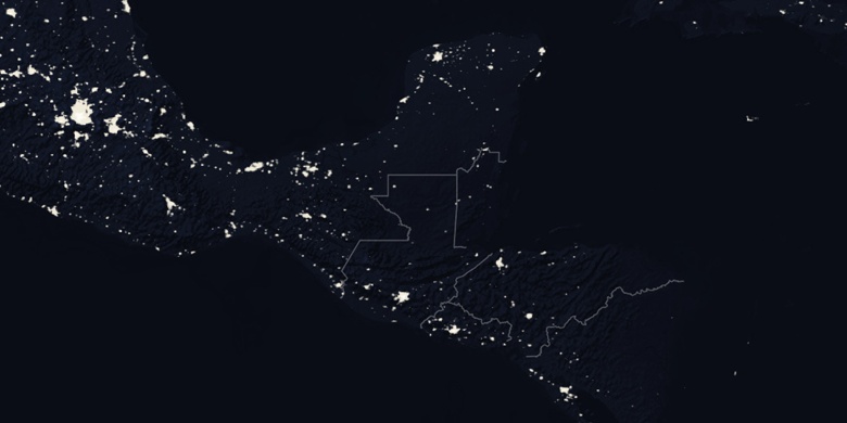
» Villa Nanchital na mapie nocnej & » Mapa Google.
 Czas
CzasVilla Nanchital na mapie strefy czasowej:
Strefa czasowa: GMT-06:00 = CST


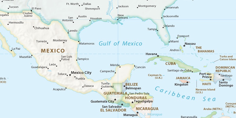
Meksyk, Villa Nanchital Mapa polityczna

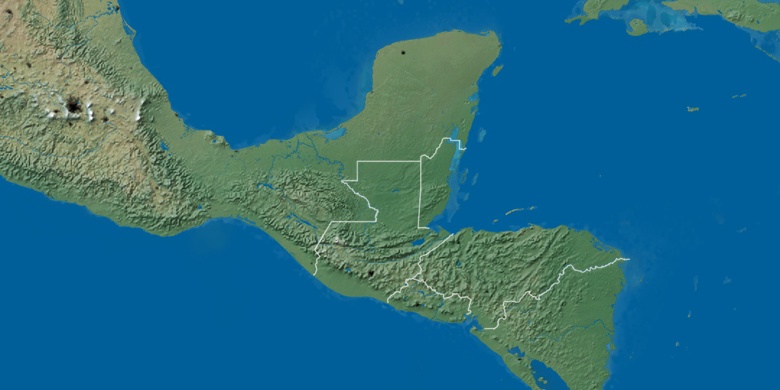
Mapa naturalna
Długości i szerokości geograficznej: 18.07117, -94.40756

Villa Nanchital
Villa Nanchital na mapie nocnej