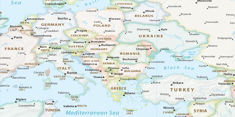
Landau an der Isar na mapie
Landau an der Isar (Bavaria) , Niemcy na mapie.
współrzędne GPS: 48° 40' 21" Północ,
12° 41' 35.4" Wschód.
» Strefa czasowa, » Mapa polityczna, » Mapa naturalna,
» Landau an der Isar na mapie nocnej & » Mapa Google.
 Czas
CzasLandau an der Isar na mapie strefy czasowej:
Strefa czasowa: GMT+02:00 = CEST (±1 DST)


Niemcy, Landau an der Isar Mapa polityczna

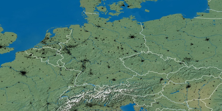
Mapa naturalna
Długości i szerokości geograficznej: 48.67249, 12.69316

Landau an der Isar
Landau an der Isar na mapie nocnej