Indre Arna na mapie
Indre Arna (Hordaland) , Norwegia na mapie.
współrzędne GPS: 60° 25' 3.6" Północ,
5° 28' 15.1" Wschód.
» Strefa czasowa, » Mapa polityczna, » Mapa naturalna,
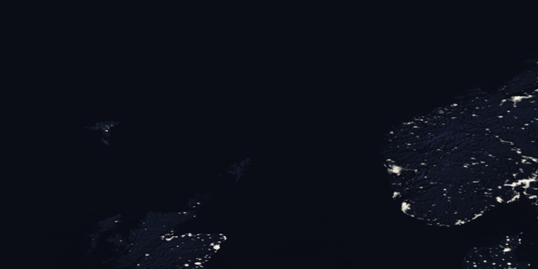
» Indre Arna na mapie nocnej & » Mapa Google.
 Czas
CzasIndre Arna na mapie strefy czasowej:
Strefa czasowa: GMT+02:00 = CEST (±1 DST)


Norwegia, Indre Arna Mapa polityczna


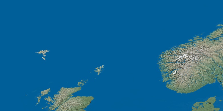
Mapa naturalna
Długości i szerokości geograficznej: 60.41768, 5.47087

Indre Arna
Indre Arna na mapie nocnej