Chishtiān Mandi na mapie
Chishtiān Mandi (Punjab
) , Pakistan na mapie.
współrzędne GPS: 29° 48' 0" Północ,
72° 52' 0" Wschód.
» Strefa czasowa, » Mapa polityczna, » Mapa naturalna,
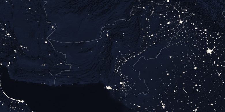
» Chishtiān Mandi na mapie nocnej & » Mapa Google.
 Czas
CzasChishtiān Mandi na mapie strefy czasowej:
Strefa czasowa: GMT+05:00 = PKT


Pakistan, Chishtiān Mandi Mapa polityczna


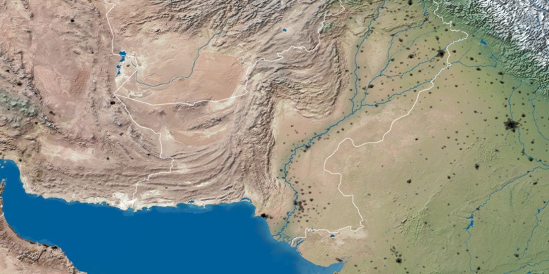
Mapa naturalna
Długości i szerokości geograficznej: 29.8, 72.86667

Chishtiān Mandi
Chishtiān Mandi na mapie nocnej