Celendín na mapie
Celendín (Cajamarca) , Peru na mapie.
współrzędne GPS: 6° 51' 57.2" południe,
78° 8' 45.1" Zachód.
» Strefa czasowa, » Mapa polityczna, » Mapa naturalna,
» Celendín na mapie nocnej & » Mapa Google.
 Czas
CzasCelendín na mapie strefy czasowej:
Strefa czasowa: GMT-05:00 = -05


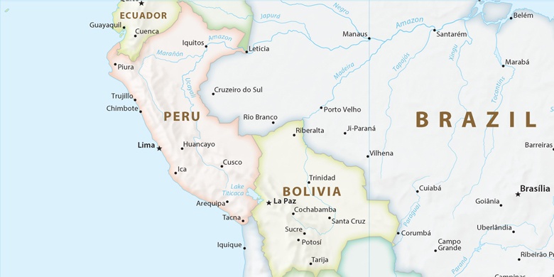
Peru, Celendín Mapa polityczna

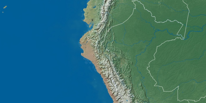
Mapa naturalna
Długości i szerokości geograficznej: -6.8659, -78.14585

Celendín
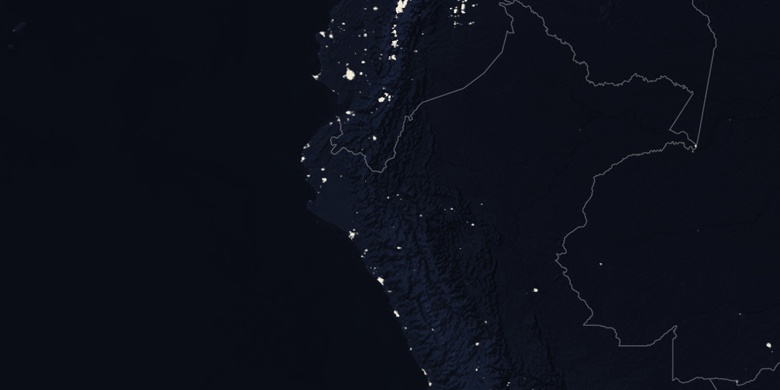
Celendín na mapie nocnej