Candelaria Arenas na mapie
Candelaria Arenas (Toa Baja
) , Portoryko na mapie.
współrzędne GPS: 18° 25' 1.8" Północ,
66° 13' 2.6" Zachód.
» Strefa czasowa, » Mapa polityczna, » Mapa naturalna,
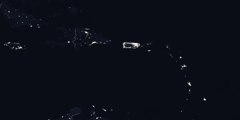
» Candelaria Arenas na mapie nocnej & » Mapa Google.
 Czas
CzasCandelaria Arenas na mapie strefy czasowej:
Strefa czasowa: GMT-04:00 = AST


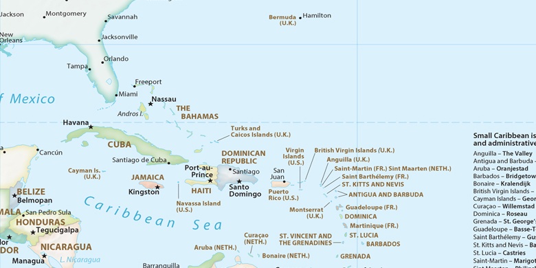
Portoryko, Candelaria Arenas Mapa polityczna

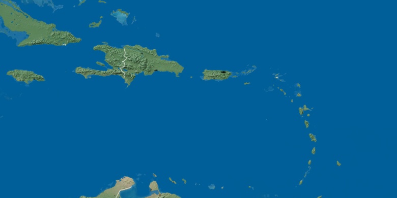
Mapa naturalna
Długości i szerokości geograficznej: 18.41717, -66.21739

Candelaria Arenas
Candelaria Arenas na mapie nocnej