Airway Heights na mapie
Airway Heights (Washington) , Stany Zjednoczone na mapie.
współrzędne GPS: 47° 38' 40.6" Północ,
117° 35' 35.8" Zachód.
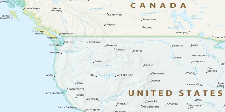
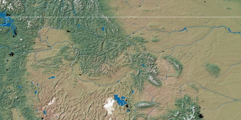
» Strefa czasowa, » Mapa polityczna, » Mapa naturalna,
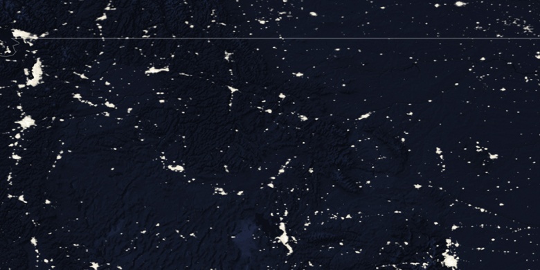
» Airway Heights na mapie nocnej & » Mapa Google.
 Czas
CzasAirway Heights na mapie strefy czasowej:
Strefa czasowa: GMT-07:00 = PDT (±1 DST)


Stany Zjednoczone, Airway Heights Mapa polityczna

Mapa naturalna
Długości i szerokości geograficznej: 47.64461, -117.59327

Airway Heights
Airway Heights na mapie nocnej