Bainbridge Island na mapie
Bainbridge Island (Washington) , Stany Zjednoczone na mapie.
współrzędne GPS: 47° 37' 34.4" Północ,
122° 31' 16.5" Zachód.
» Strefa czasowa, » Mapa polityczna, » Mapa naturalna,
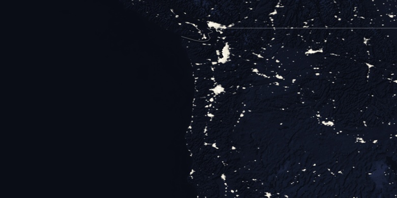
» Bainbridge Island na mapie nocnej & » Mapa Google.
 Czas
CzasBainbridge Island na mapie strefy czasowej:
Strefa czasowa: GMT-07:00 = PDT (±1 DST)


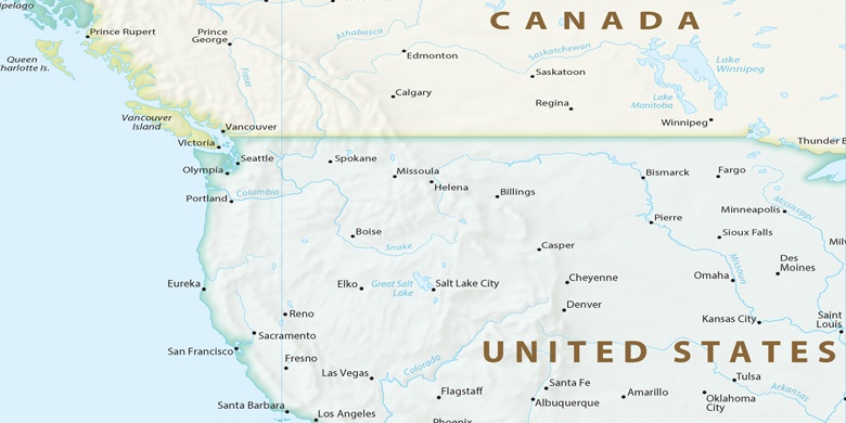
Stany Zjednoczone, Bainbridge Island Mapa polityczna

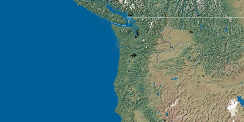
Mapa naturalna
Długości i szerokości geograficznej: 47.62621, -122.52124

Bainbridge Island
Bainbridge Island na mapie nocnej