Barstow Heights na mapie
Barstow Heights (California) , Stany Zjednoczone na mapie.
współrzędne GPS: 34° 52' 11" Północ,
117° 3' 22.1" Zachód.
» Strefa czasowa, » Mapa polityczna, » Mapa naturalna,
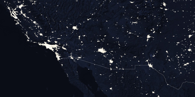
» Barstow Heights na mapie nocnej & » Mapa Google.
 Czas
CzasBarstow Heights na mapie strefy czasowej:
Strefa czasowa: GMT-07:00 = PDT (±1 DST)


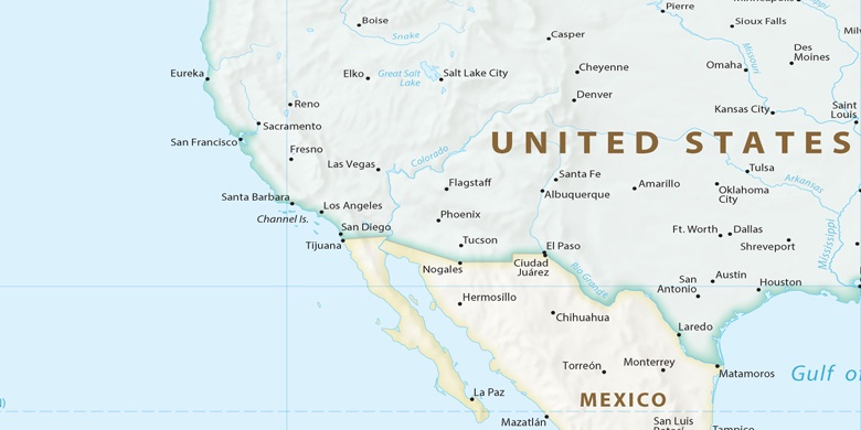
Stany Zjednoczone, Barstow Heights Mapa polityczna

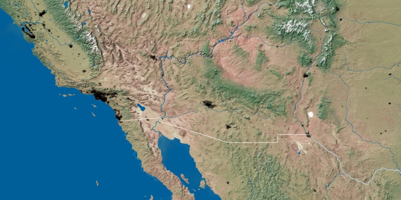
Mapa naturalna
Długości i szerokości geograficznej: 34.86971, -117.05615

Barstow Heights
Barstow Heights na mapie nocnej