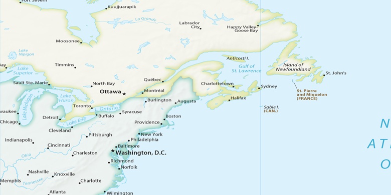
Crestwood Village na mapie
Crestwood Village (New Jersey) , Stany Zjednoczone na mapie.
współrzędne GPS: 39° 56' 53.4" Północ,
74° 21' 38.5" Zachód.
» Strefa czasowa, » Mapa polityczna, » Mapa naturalna,
» Crestwood Village na mapie nocnej & » Mapa Google.
 Czas
CzasCrestwood Village na mapie strefy czasowej:
Strefa czasowa: GMT-04:00 = EDT (±1 DST)


Stany Zjednoczone, Crestwood Village Mapa polityczna

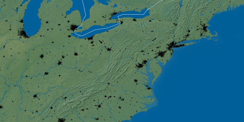
Mapa naturalna
Długości i szerokości geograficznej: 39.94817, -74.3607

Crestwood Village
Crestwood Village na mapie nocnej