Drexel Heights na mapie
Drexel Heights (Arizona) , Stany Zjednoczone na mapie.
współrzędne GPS: 32° 8' 28.3" Północ,
111° 1' 42.3" Zachód.
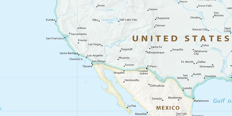
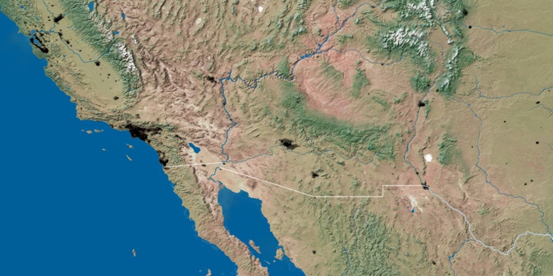
» Strefa czasowa, » Mapa polityczna, » Mapa naturalna,
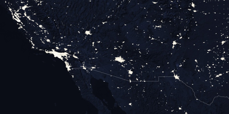
» Drexel Heights na mapie nocnej & » Mapa Google.
 Czas
CzasDrexel Heights na mapie strefy czasowej:
Strefa czasowa: GMT-07:00 = MST


Stany Zjednoczone, Drexel Heights Mapa polityczna

Mapa naturalna
Długości i szerokości geograficznej: 32.14119, -111.02843

Drexel Heights
Drexel Heights na mapie nocnej