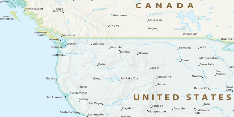
 Glenwood Springs na mapie
Glenwood Springs (Colorado) , Stany Zjednoczone na mapie.
współrzędne GPS: 39° 33' 1.9" Północ,
107° 19' 29.2" Zachód.
» Strefa czasowa, » Mapa polityczna, » Mapa naturalna,
» Glenwood Springs na mapie nocnej & » Mapa Google.
 Czas
CzasGlenwood Springs na mapie strefy czasowej:
Strefa czasowa: GMT-06:00 = MDT (±1 DST)


Stany Zjednoczone, Glenwood Springs Mapa polityczna

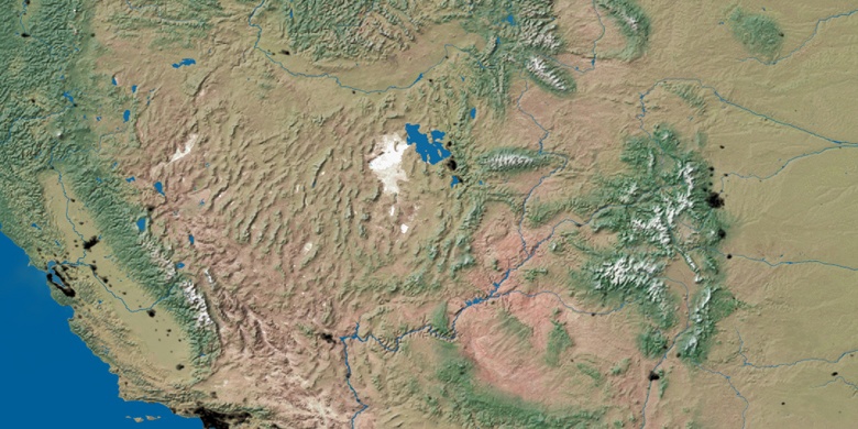
Mapa naturalna
Długości i szerokości geograficznej: 39.55054, -107.32478

Glenwood Springs
Glenwood Springs na mapie nocnej

