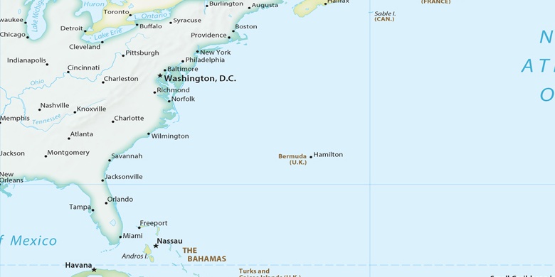
Hillcrest Heights na mapie
Hillcrest Heights (Maryland) , Stany Zjednoczone na mapie.
współrzędne GPS: 38° 49' 58.4" Północ,
76° 57' 33.9" Zachód.
» Strefa czasowa, » Mapa polityczna, » Mapa naturalna,
» Hillcrest Heights na mapie nocnej & » Mapa Google.
 Czas
CzasHillcrest Heights na mapie strefy czasowej:
Strefa czasowa: GMT-04:00 = EDT (±1 DST)


Stany Zjednoczone, Hillcrest Heights Mapa polityczna

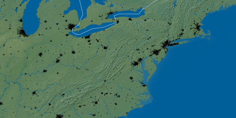
Mapa naturalna
Długości i szerokości geograficznej: 38.83289, -76.95942

Hillcrest Heights
Hillcrest Heights na mapie nocnej