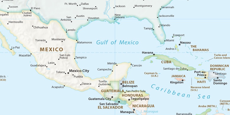
Lighthouse Point na mapie
Lighthouse Point (Florida) , Stany Zjednoczone na mapie.
współrzędne GPS: 26° 16' 32.3" Północ,
80° 5' 14.2" Zachód.
» Strefa czasowa, » Mapa polityczna, » Mapa naturalna,
» Lighthouse Point na mapie nocnej & » Mapa Google.
 Czas
CzasLighthouse Point na mapie strefy czasowej:
Strefa czasowa: GMT-04:00 = EDT (±1 DST)


Stany Zjednoczone, Lighthouse Point Mapa polityczna

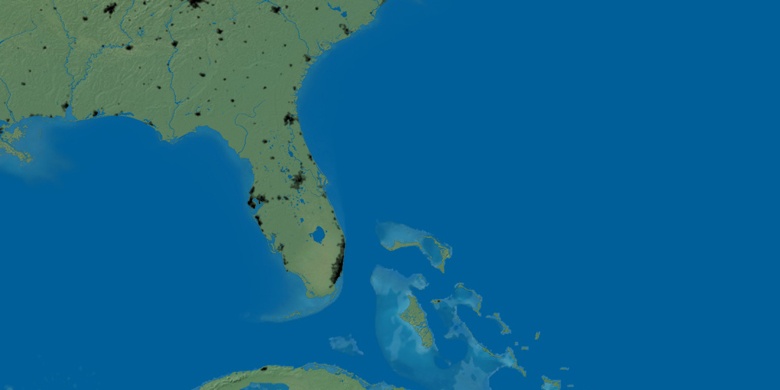
Mapa naturalna
Długości i szerokości geograficznej: 26.27564, -80.08727

Lighthouse Point
Lighthouse Point na mapie nocnej