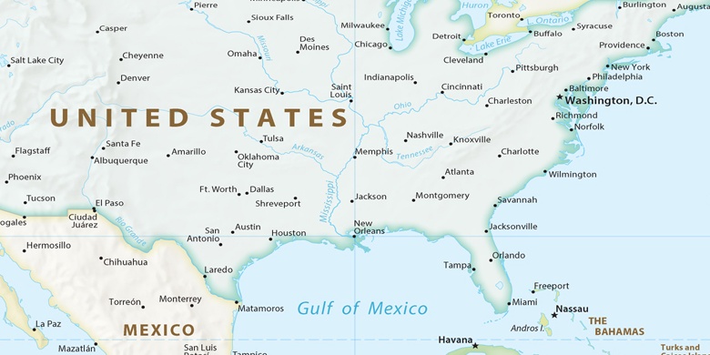
Peachtree City na mapie
Peachtree City (Georgia) , Stany Zjednoczone na mapie.
współrzędne GPS: 33° 23' 48.4" Północ,
84° 35' 44.7" Zachód.
» Strefa czasowa, » Mapa polityczna, » Mapa naturalna,
» Peachtree City na mapie nocnej & » Mapa Google.
 Czas
CzasPeachtree City na mapie strefy czasowej:
Strefa czasowa: GMT-04:00 = EDT (±1 DST)


Stany Zjednoczone, Peachtree City Mapa polityczna

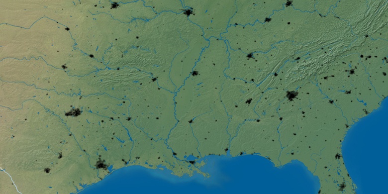
Mapa naturalna
Długości i szerokości geograficznej: 33.39678, -84.59576

Peachtree City
Peachtree City na mapie nocnej