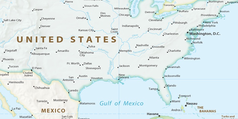
Pleasant Hill na mapie
Pleasant Hill (Missouri) , Stany Zjednoczone na mapie.
współrzędne GPS: 38° 47' 15" Północ,
94° 16' 9.8" Zachód.
» Strefa czasowa, » Mapa polityczna, » Mapa naturalna,
» Pleasant Hill na mapie nocnej & » Mapa Google.
 Czas
CzasPleasant Hill na mapie strefy czasowej:
Strefa czasowa: GMT-05:00 = CDT (±1 DST)


Stany Zjednoczone, Pleasant Hill Mapa polityczna

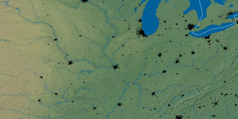
Mapa naturalna
Długości i szerokości geograficznej: 38.78751, -94.26939

Pleasant Hill
Pleasant Hill na mapie nocnej