Prunedale na mapie
Prunedale (California) , Stany Zjednoczone na mapie.
współrzędne GPS: 36° 46' 32.8" Północ,
121° 40' 10.8" Zachód.
» Strefa czasowa, » Mapa polityczna, » Mapa naturalna,
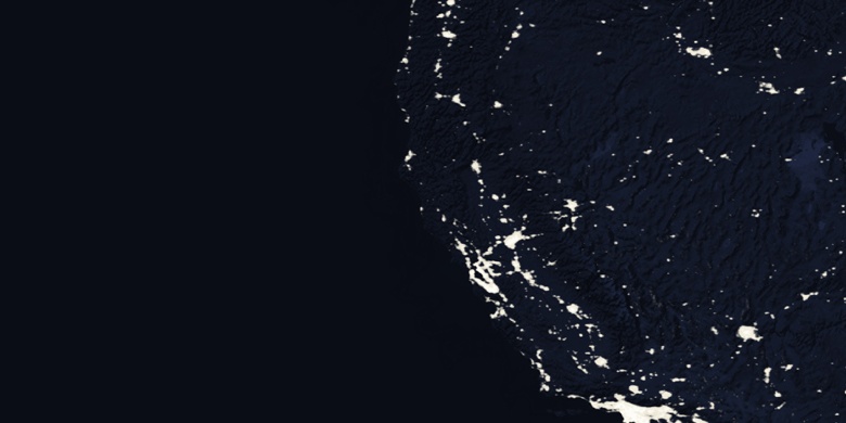
» Prunedale na mapie nocnej & » Mapa Google.
 Czas
CzasPrunedale na mapie strefy czasowej:
Strefa czasowa: GMT-07:00 = PDT (±1 DST)


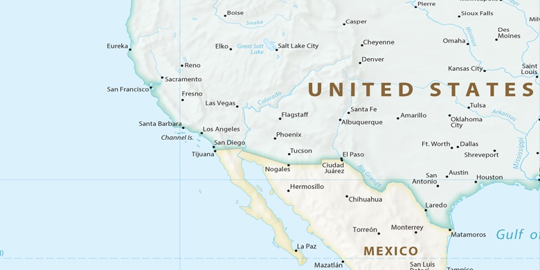
Stany Zjednoczone, Prunedale Mapa polityczna

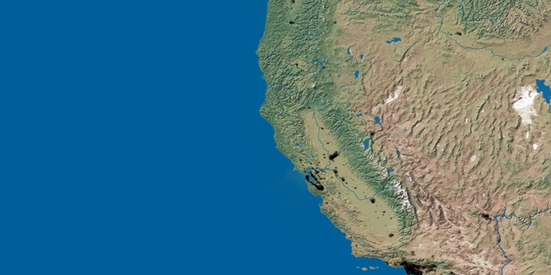
Mapa naturalna
Długości i szerokości geograficznej: 36.77579, -121.66967

Prunedale
Prunedale na mapie nocnej