West and East Lealman na mapie
West and East Lealman (Florida) , Stany Zjednoczone na mapie.
współrzędne GPS: 27° 49' 11.7" Północ,
82° 41' 22" Zachód.
» Strefa czasowa, » Mapa polityczna, » Mapa naturalna,
» West and East Lealman na mapie nocnej & » Mapa Google.
 Czas
CzasWest and East Lealman na mapie strefy czasowej:
Strefa czasowa: GMT-04:00 = EDT (±1 DST)


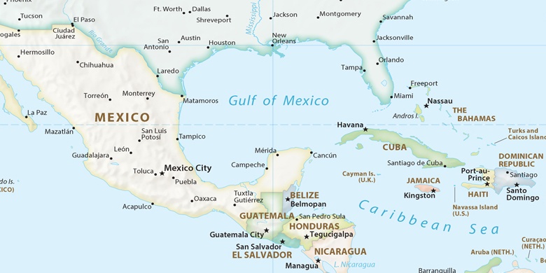
Stany Zjednoczone, West and East Lealman Mapa polityczna

Mapa naturalna
Długości i szerokości geograficznej: 27.81993, -82.68944
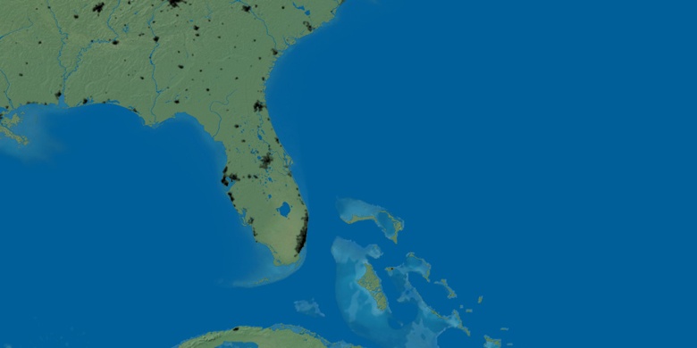

West and East Lealman
West and East Lealman na mapie nocnej