Stadt Winterthur (Kreis 1) na mapie
Stadt Winterthur (Kreis 1) (Zurich) , Szwajcaria na mapie.
współrzędne GPS: 47° 29' 41.8" Północ,
8° 43' 10.3" Wschód.
» Strefa czasowa, » Mapa polityczna, » Mapa naturalna,
» Stadt Winterthur (Kreis 1) na mapie nocnej & » Mapa Google.
 Czas
CzasStadt Winterthur (Kreis 1) na mapie strefy czasowej:
Strefa czasowa: GMT+02:00 = CEST (±1 DST)


Szwajcaria, Stadt Winterthur (Kreis 1) Mapa polityczna


Mapa naturalna
Długości i szerokości geograficznej: 47.49494, 8.71954


Stadt Winterthur (Kreis 1)
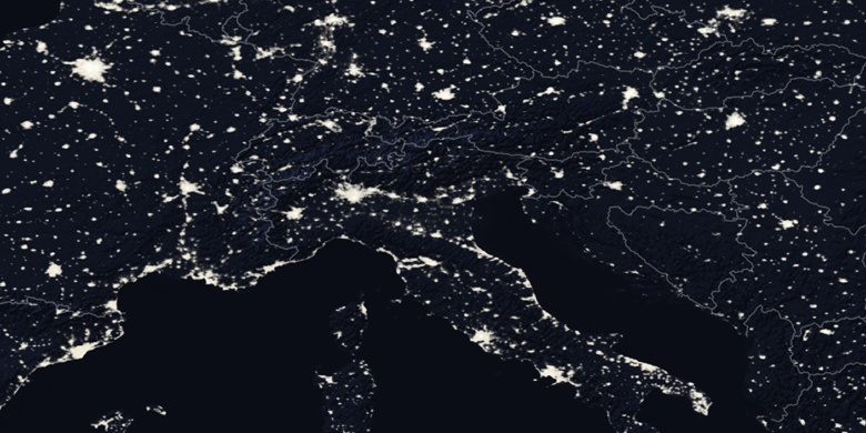
Stadt Winterthur (Kreis 1) na mapie nocnej