Artemivs’k na mapie
Artemivs’k (Luhansk) , Ukraina na mapie.
współrzędne GPS: 48° 26' 26.2" Północ,
38° 43' 55.2" Wschód.
» Strefa czasowa, » Mapa polityczna, » Mapa naturalna,
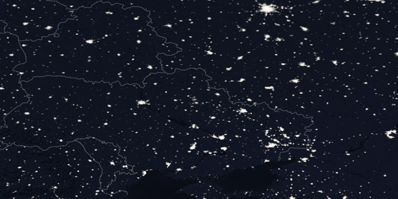
» Artemivs’k na mapie nocnej & » Mapa Google.
 Czas
CzasArtemivs’k na mapie strefy czasowej:
Strefa czasowa: GMT+03:00 = EEST (±1 DST)


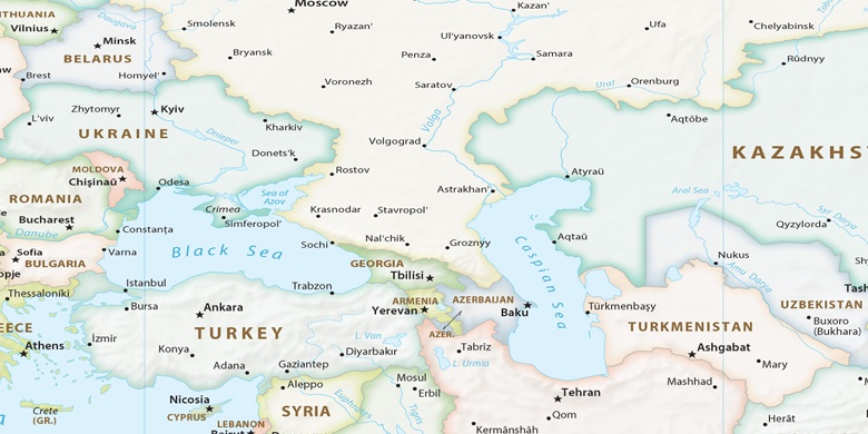
Ukraina, Artemivs’k Mapa polityczna

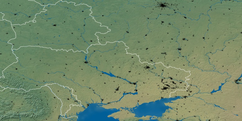
Mapa naturalna
Długości i szerokości geograficznej: 48.44061, 38.732

Artemivs’k
Artemivs’k na mapie nocnej