Portlethen na mapie
Portlethen (Scotland) , Wielka Brytania na mapie.
współrzędne GPS: 57° 3' 17.1" Północ,
2° 7' 50.4" Zachód.
» Strefa czasowa, » Mapa polityczna, » Mapa naturalna,
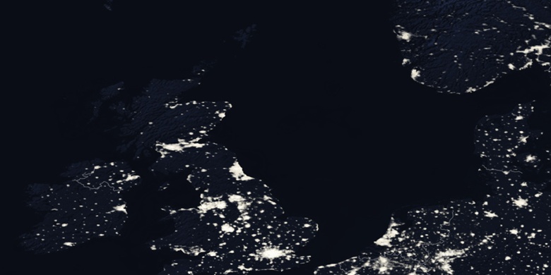
» Portlethen na mapie nocnej & » Mapa Google.
 Czas
CzasPortlethen na mapie strefy czasowej:
Strefa czasowa: GMT+01:00 = BST (±1 DST)


Wielka Brytania, Portlethen Mapa polityczna


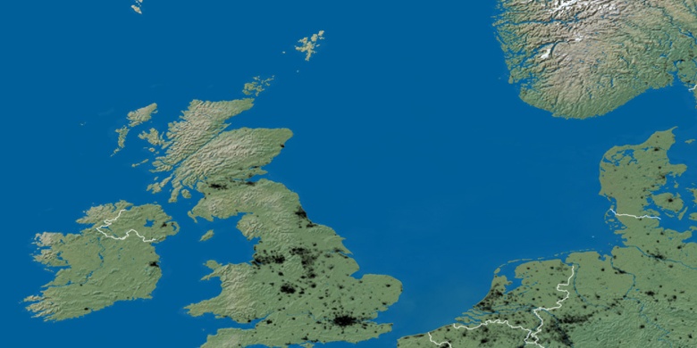
Mapa naturalna
Długości i szerokości geograficznej: 57.05474, -2.13066

Portlethen
Portlethen na mapie nocnej