Sherburn in Elmet na mapie
Sherburn in Elmet (England) , Wielka Brytania na mapie.
współrzędne GPS: 53° 47' 42.7" Północ,
1° 14' 47.8" Zachód.
» Strefa czasowa, » Mapa polityczna, » Mapa naturalna,
» Sherburn in Elmet na mapie nocnej & » Mapa Google.
 Czas
CzasSherburn in Elmet na mapie strefy czasowej:
Strefa czasowa: GMT+01:00 = BST (±1 DST)


Wielka Brytania, Sherburn in Elmet Mapa polityczna


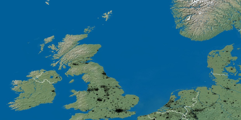
Mapa naturalna
Długości i szerokości geograficznej: 53.79519, -1.2466

Sherburn in Elmet
Sherburn in Elmet na mapie nocnej